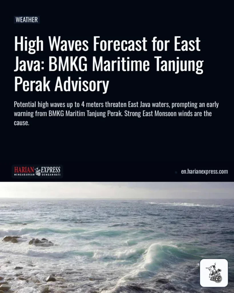
HARIANEXPRESS – The Maritime Meteorology, Climatology, and Geophysics Agency (BMKG) Tanjung Perak Surabaya has issued an early warning regarding potential high waves, possibly reaching up to 4 meters, across East Java waters. This advisory is in effect from August 10 to August 13, 2026, according to one report, while another source indicates the period from August 9 to August 12, 2026. The natural phenomenon is triggered by strong East Monsoon winds, predominantly blowing from the East to Southeast at consistent speeds of 5 to 30 knots.
Potential Wave Heights Across East Java Waters
The threat of rising waves is categorized into two main groups based on geographical risk levels. Waves with heights between 2.5 and 4.0 meters are highly likely to affect the entire southern coastal region of East Java. This includes the waters of Pacitan, Trenggalek, Tulungagung, Blitar, Malang, Lumajang, Jember, and Banyuwangi.
Moderate waves, ranging from 1.25 to 2.5 meters, have the potential to occur in the northern waters and island territories. These areas include Northern Bawean waters, the northern and southern parts of the Sapudi Islands, and the northern and southern parts of the Kangean Islands.
Safety Recommendations for Maritime Activities
BMKG Maritim Tanjung Perak has provided operational safety guidelines crucial for all maritime transport operators. These guidelines aim to mitigate risks and ensure safe navigation.
“Arah angin dominan berhembus dari arah Timur hingga Tenggara dengan kecepatan antara 5 – 30 knots,” ujar Sutarno, Koordinator Bidang Observasi dan Informasi BMKG Maritim Tanjung Perak Surabaya.
Fishing boats are advised to exercise caution if wind speeds reach 15 knots and wave heights are 1.25 meters. Barges should be vigilant when wind speeds climb to 16 knots and wave heights reach 1.5 meters. Furthermore, ferry operators are recommended to be cautious if wind speeds in the waters approach 21 knots and wave heights are 2.5 meters.
Generally, the weather conditions across most East Java waters are forecasted to be partly cloudy. The public is strongly encouraged to continuously monitor the latest information provided by BMKG before undertaking any activities in these waters for their safety.